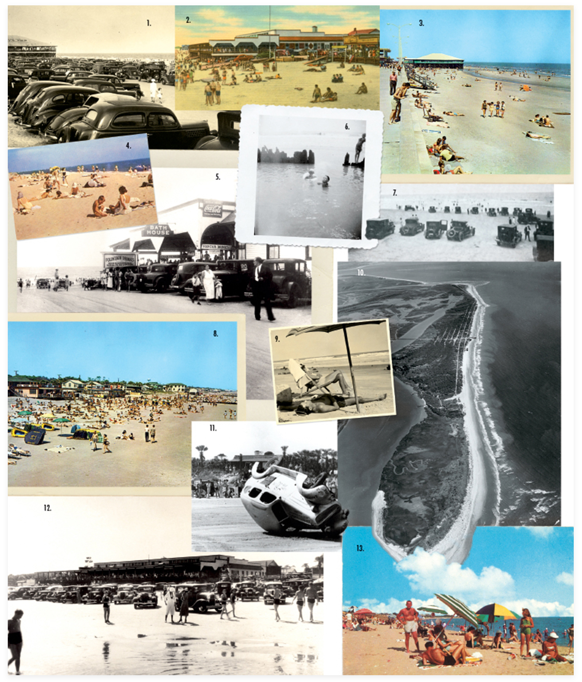
1. Parked cars line the beach in 1938 (courtesy of The Charleston Museum); 2. An undated postcard of the pavilion and the car ramp leading to the beach (courtesy of Bill Bryan); 3. The pier and boardwalk in the 1960s (courtesy of Robert Knight); 4. Folly Beach in the 1960s (courtesy of The Charleston Museum); 5. Center Street bathhouse and car ramp to the beach in the 1940s (courtesy of The Charleston Museum); 6. Jimmy Creech and his cousin George swimming at high tide along the groins from the 1950s (courtesy of Jimmy Creech); 7. Cars on the beach, circa 1920 (courtesy of Bill Bryan); 8. A crowded day at the beach in the 1960s (courtesy of Robert Knight); 9. Sunbathing on the beach (courtesy of The Charleston Museum); 10. Aerial view of the east end of the island (courtesy of South Carolina Historical Society); 11. The loser of a 1938 car race on the beach (courtesy of The Charleston Museum); 12. The pavilion and car ramp onto the beach from Center Street, circa 1940 (courtesy of The Charleston Museum); 13. Holiday crowds (courtesy of The Charleston Museum).
Folly’s sun, sand, and salt water have always been the major attraction
In the late 1940s and ’50s, the beach was crowded all summer long, especially on holidays. Folly used to have boxing matches (and drag races) on the front beach. A few wooden ramps led from the boardwalk to the beach. You had to balance yourself carefully in order to navigate the ramps. The beach in this area always seemed to be wasting away. (And it did practically every winter, only to rebuild somewhat during summer.) Because the beach was in such a flux, the ramps often were raised several feet above the sand, and you had to jump down to reach the shore.
At low tide, during the ’40s (and decades before), cars would drive onto the beach and park. A wooden ramp extended from Center Street onto the beach. Cars lined the beach for several blocks. Many got stuck when the tide came in.

Back then, the area now known as the Washout was an isolated, lonely stretch of shoreline, relatively unknown to many folks who went to Folly for the day. Most vacationers stuck to the main section of town, to be close to all the popular attractions. But the Washout was known to birders, fishermen, lovers, and those who sought solitude. It was one of the best spots to steal a kiss, away from the crowds and prying eyes.
From the Washout to the Coast Guard base, the beach stretched on and on. There weren’t many trees on this little sliver of sand, and the winds were forever shifting the dunes from day to day. One year it could be broad and flat and extend out into the sea for miles. It could all vanish by the time you returned a year later.
Like the Coast Guard base on the east end, a public county park makes up the island’s west end counterpart. The section of beach contains some of the finest scenery around. On one side is the Atlantic. On the other, the marsh and the Folly River. As on the east end, erosion plays a major role. Old pictures show giant dunes lining the beach in the 1940s and ’50s. Some of the tallest dunes on the island could be found here.
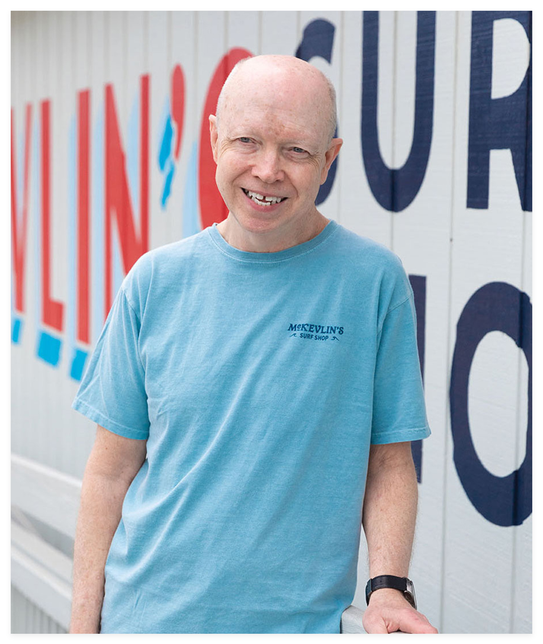
Local Legend: “Things have really changed down here over the years,” says Tim McKevlin, whose father, Dennis, opened the iconic surf shop with his brother-in-law Jack McLain in 1965. “There are a lot more places for people to shop and eat, because there are so many more people here now. I miss the old days, when things were a lot slower, when there weren’t so many people on the island all the time. It just seemed a little more fun then. But it’s a trade-off. With all the people, business is better. But I’d happily sacrifice a little business for things to be more like they were.”